Skip To Content

600 South of Vega Road

Topock, AZ 86436
  • $80,000
  • STATUS: Active
  • ON SITE: 369 Days
  • MLS #: 032887
UPDATED: 68 min ago
$80,000
  • 0
    BEDS
  • 40
    ACRES
  • 0
    BATHS
  • 0
    1/2 BATHS
Neighborhood:
N/A
Type:
Vacant Land / Lots
County:

School Ratings & Info

Description

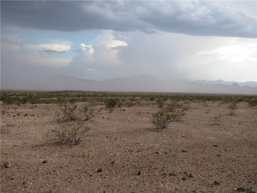
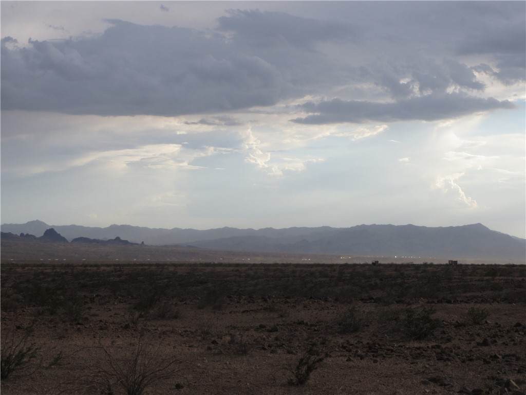
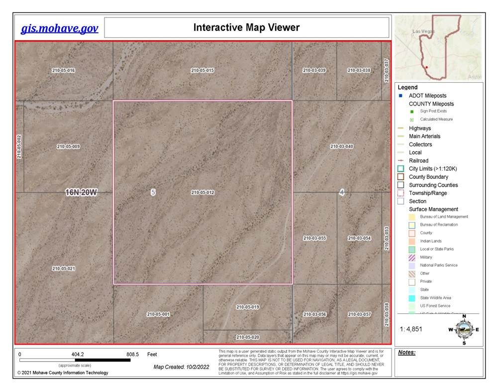
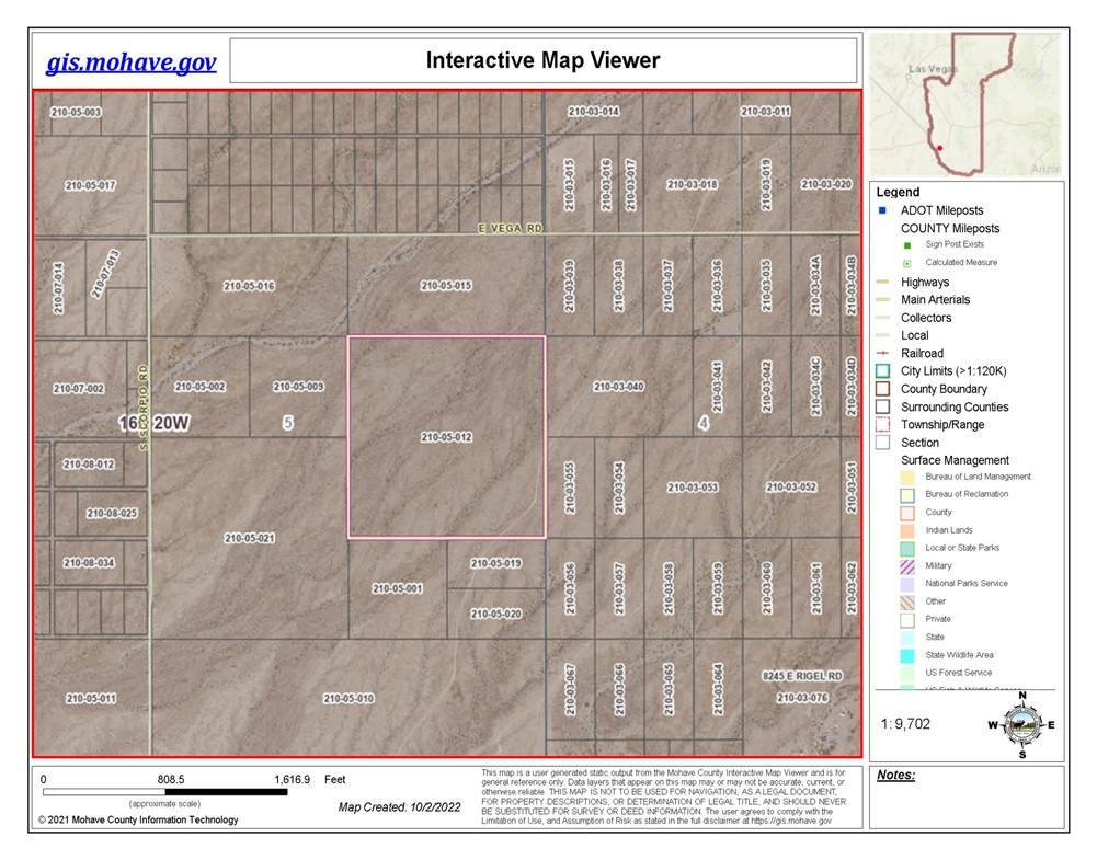
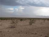
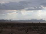
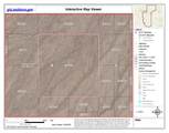
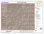
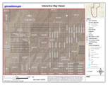
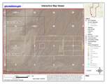
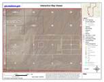
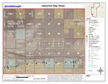
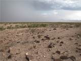
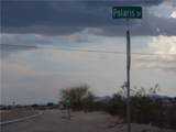
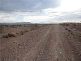
Nice secluded parcel of 40 acres of Arizona vacant land located east of Topock-Golden Shores and north of I-40. Parcel is located south of Polaris Road and 650 feet south of Vega Road. The property is ideal for residential - agricultural development and living the ''off grid'' lifestyle. Close to the Colorado River, Havasu Wildlife Refuge, and the Warm Springs Wilderness Area. Owner financing is available. Four wheel drive may be necessary depending on road conditions. Southeast Corner GPS Coordinates: Lat. 34.754812 & Long. 114.369262 Southwest Corner GPS Coordinates: Lat. 34.754812 & Long. 114.373661. Northwest Corner GPS Coordinates: Lat. 34.758452 and Long. 114.373661 Northeast Corner GPS Coordinates: Lat. 34.758452 and Long. 114. 369262.

Monthly Payment Calculator

Listing information © 2026 Western Arizona Realtor Data Exchange. IDX data provided exclusively for consumer's personal, non-consumer use and may not be used for any purpose other than to identify prospective properties consumers may be interested in purchasing. Data is deemed reliable, but not guaranteed accurate by the Western Arizona Realtor Data Exchange. Data last updated: 2026-10-06T06:43:55.257.
www.countryranchrealty.com/homes/168437368
Print Image

600 South of Vega Road Topock, AZ 86436

  • Price: $80,000
  • Status: Active
  • On Site: 369 Days
  • Updated: 68 min ago
  • MLS #: 032887
0
Beds
0
Baths
0
½ Baths
40
Acres
Neighborhood:
N/A
County:
Mohave
Property Description
Nice secluded parcel of 40 acres of Arizona vacant land located east of Topock-Golden Shores and north of I-40. Parcel is located south of Polaris Road and 650 feet south of Vega Road. The property is ideal for residential - agricultural development and living the ''off grid'' lifestyle. Close to the Colorado River, Havasu Wildlife Refuge, and the Warm Springs Wilderness Area. Owner financing is available. Four wheel drive may be necessary depending on road conditions. Southeast Corner GPS Coordinates: Lat. 34.754812 & Long. 114.369262 Southwest Corner GPS Coordinates: Lat. 34.754812 & Long. 114.373661. Northwest Corner GPS Coordinates: Lat. 34.758452 and Long. 114.373661 Northeast Corner GPS Coordinates: Lat. 34.758452 and Long. 114. 369262.
Exterior Features

Fencing None Lot Features Agricultural Residential Lot View Mountain(s) Panoramic View YN Yes

Property Features

Association YN No Horse Amenities Horses Allowed Horse YN Yes Land Lease YN No Listing Terms Cash Owner May Carry Property Sub Type Agriculture Property Sub Type Additional Land Sewer Septic Needed Needs Septic Tax Annual Amount 68.38 Tax Year 2024 Zoning Description M- AR Agricultural Res

Listing provided by Century 21 Americana: 928-855-3015.
Listing information © 2026 Western Arizona Realtor Data Exchange. IDX data provided exclusively for consumer's personal, non-consumer use and may not be used for any purpose other than to identify prospective properties consumers may be interested in purchasing. Data is deemed reliable, but not guaranteed accurate by the Western Arizona Realtor Data Exchange. Data last updated: 2026-10-06T06:43:55.257.
 
https://bt-photos.global.ssl.fastly.net/wardex/orig_boomver_2_032887-2.jpg https://bt-photos.global.ssl.fastly.net/wardex/orig_boomver_2_032887-2.jpg https://bt-photos.global.ssl.fastly.net/wardex/orig_boomver_2_032887-2.jpg
Logo
Country Ranch Realty
1858 Highway 95
Bullhead City AZ, 86442